It is often said that, in order to appreciate experiences on storm chases, one should check their expectations beforehand. On the vast majority of storm chases, you are not going to see a tornado. I've been on plenty of chases when surface-based storms failed to develop, much less produce beautiful structure and/or tornadoes. So when chases vastly exceed expectations, as happened on this day, senses of awe and excitement can spontaneously overflow.
The morning started with few thoughts of chasing storms; rather, I was having dental work done at 7 a.m. I knew SPC had us in a slight risk for severe weather in the afternoon, as a cold front was forecast to move into eastern Nebraska from the northwest. There was ample instability forecast to be present (see very steep mid-level lapse rates observed on OAX 0Z sounding), and a shortwave trough approaching in northwest flow aloft (see 500 mb map), but the deep-layer shear was forecast to be marginal (~30-35 kt in eastern Nebraska) for supercells, with better chances for rotating storms, and possibly tornadoes, in Minnesota. While worked from home in the afternoon, my friend Matt was also fairly skeptical of supercells occurring within a few hour drive of Lincoln, telling me that radar trends with early convection initiation in northeast Nebraska looked fairly blobular, which I agreed with.
 |
0 UTC Omaha, NE Sounding, Courtesy NWS Omaha and NWS SPC
|
 |
0 UTC 500 mb map, courtesy NWS SPC
|
About an hour later, Matt noted a few broad mesocyclones in cells near Norfolk and Madison. Based on this, and the hope that one of these storms would become dominant and turn more to the right, we drove north on US 77 to Wahoo to get into initial position, arriving after 3. As we approached Wahoo, the storms in northeast Nebraska weakened, while a storm in the Columbus vicinity maintained a broad mid-level mesocyclone, as new cells developed to its southwest along the cold front and merged into it. Whatever was to become of this became the obvious target, so we headed west through the rolling hills of the Bohemian Alps region, gaining a visual of a very broad updraft base when we neared David City. Occasional updraft towers just beyond the southwest flank of the storm continued to develop. While the broad updraft base was encouraging, the lack of a consolidating, dominant updraft and a messy appearance on radar imagery led us to believe that we'd likely get to watch a multicell cluster of storms move south, to the west of Lincoln. We stopped to watch the storm near Garrison, where it very slowly became better organized, showing off picturesque mid-level inflow bands before we had to move south.
 |
Storm west-northwest of Garrison, with mid-level banding, after we found somewhere to watch it without corn obstructing our view. Eventually, to avoid rain and hail, and increasing cloud-to-ground lightning, we moved south.
|
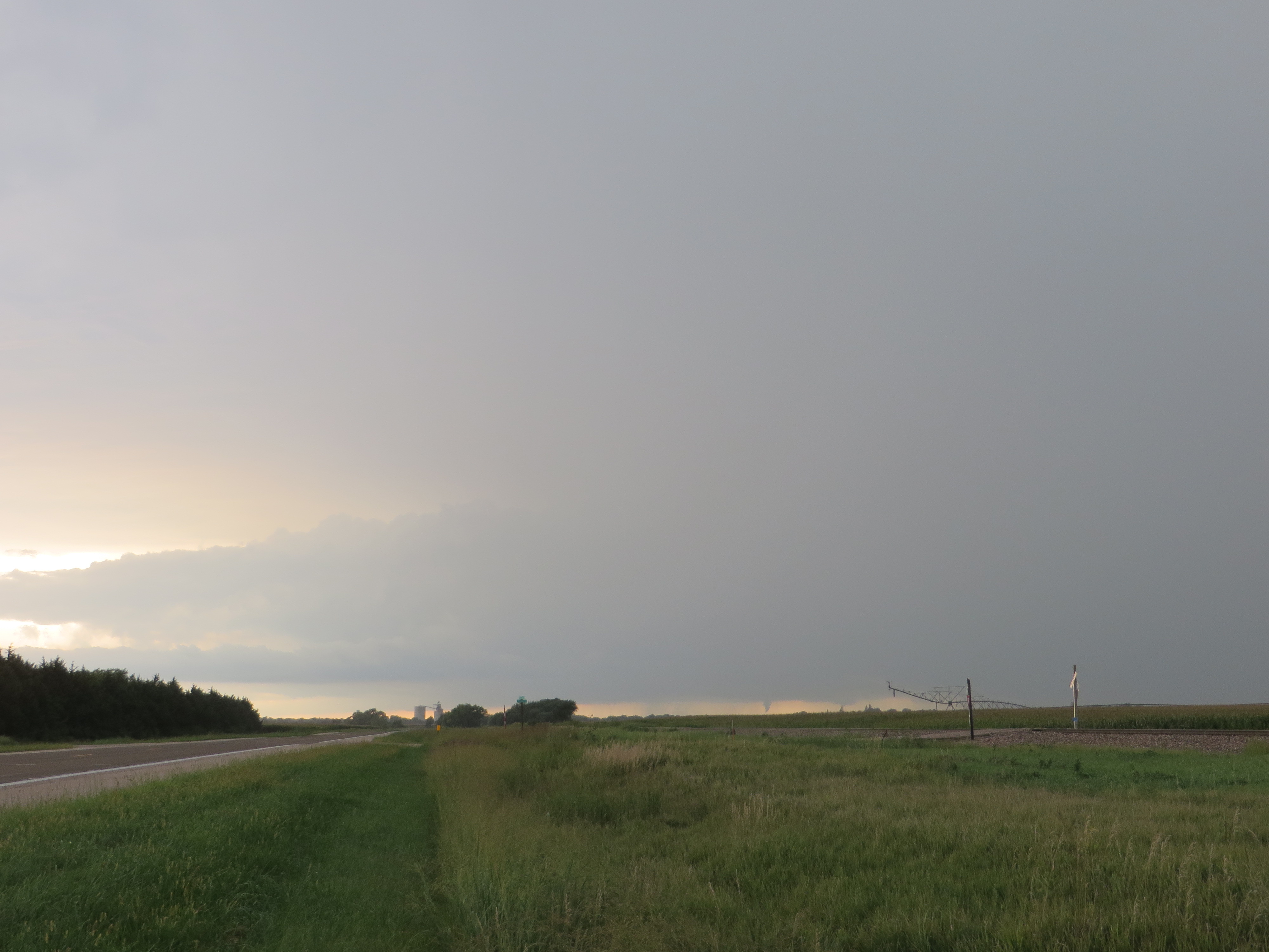
We followed the storm south-southwest after leaving Garrison, passing through the communities of Ulysses and Staplehurst, eventually crossing I-80 south of Utica, where the structure had changed to a narrower, tilted updraft. Still pretty, but nothing overly impressive yet. Several miles south of I-80, Matt looked out the right and exclaimed "Whoa! Funnel cloud!". A funnel cloud, condensed more than halfway from the cloud base to the ground, came into view as we topped a ridge. As we suspected, this had a ground circulation, and was rated an EF-0 (near Henderson, NE). Matt's picture (while I was driving) of tornado #1: https://twitter.com/mattwilsonwx/status/1294397505489244167.
This first tornado lifted, but it became clear to us that the storm was taking advantage of increased environmental vorticity along the cold front, and given the updraft's proximity to the front, more tornadoes seemed possible (see mesoscale discussion from that afternoon by NWS SPC's Evan Bentley for a more detailed analysis of the mesoscale environment which lead to repeated tornadogenesis). About 20 minutes later, we pulled off of US 6 near either Exeter or Sutton, and watched tornado #2 (also rated EF-0).
 |
Tornado #2
|
 |
Tornado #2 with storm structure
|
 |
Tornado #2
|
In a state of bewilderment that Matt and I had seen our first tornadoes of the year in August, we continued to US 81 to follow the storm southwest. We pulled off of US 81 northwest of Bruning, NE, where a wall cloud and other impressive, albeit low contrast, structure came into view.
 |
Mesocyclone, wall cloud, and mid-level banding (barely visible on right side of photo) along forward flank near Bruning, NE. As would become a theme for the rest of the chase, the vibrant textures and colors in the storm features were difficult to capture in their full splendor in photographs.
|
As the precipitation from the storm encroached on our location, and new updrafts began forming to the southwest, we continued southwest to Superior, NE, where a new updraft to the west was becoming dominant. After a successful escape from hail and heavy rain in the forward flank, we got back ahead of the storm as we crossed south into Kansas. Several miles into Jewell County, KS, the mesocyclone associated with the new western updraft became visually stunning, with deep purple, blue, and green tints, and otherworldly textures and shapes. Sadly, I had difficulty capturing how awe-inspiring the structure was when we pulled off, but hopefully these photos somewhat convey the physical structure.
 |
Northern Jewell Co, KS, structure. Not apparent in these photos is how well-defined the striations were in the mesocyclone, or how vibrant the colors in the updraft were.
|
We continued to follow the storm complex southwestward, where it gradually morphed into outflow dominant structure, though this happened slowly, as new updrafts would develop mesocyclones to the southwest of whatever the ongoing one was that was becoming dominated by outflow. The colors in the updraft and outflow bands and striations had an ethereal beauty to them, with rich aquamarine, green, and purple common near the updraft, and a glowing yellow-orange behind the deep purple bands along the forward flank convergence zone.
 |
Structure on both forward and rear flanks as storm gradually became more outflow-dominant (Jewell Co, KS).
|
 |
| New mesocyclone to southwest of old one. |
 |
Waves on edge of mesocyclone, perhaps a result of horizontal shearing instability.
|
 |
Storm becoming more outflow dominant.
|
As we arrived in Beloit, we realized that the sun would set sooner than we could get into position to photograph mammatus, so we ended the chase and headed north, with a stop at a Dairy Queen in Belleville, KS along the way.
Relative to the expectation of seeing a multicell cluster, or a likely weak supercell, the storms which we saw on this day were incredible, with a couple tornadoes and beautiful, constantly changing structure. After the stressful year thus far, and a handful of frustrating chases in June after marginal setups in May, this was a fantastic way to see my first two tornadoes of the year, and my first two August tornadoes.
 |
Chase Route
|


No comments:
Post a Comment